
Heavy rain is likely across several parts of the country next week. New satellite images show clouds covering a 1,500 km stretch from West Bengal to Uttarakhand. The weather system has developed due to a deep depression over the Bay of Bengal.
A deep depression is a strong low-pressure weather system that forms over the sea. Wind speeds are higher than in a normal depression, often leading to heavy rainfall.
According to the India Meteorological Department (IMD), the monsoon trough is expected to bring heavy rain to Delhi, Punjab, Haryana, Himachal Pradesh, Uttarakhand, Uttar Pradesh, Madhya Pradesh, Chhattisgarh, Maharashtra, Odisha, West Bengal, Jharkhand and Bihar.
In Shahdol district of Madhya Pradesh, three people, including an 11-year-old child, died after being struck by lightning on Sunday evening. Meanwhile, in Ballia, Uttar Pradesh, the ground beneath a government school collapsed, causing the building to sink into the river.
See in satellite map
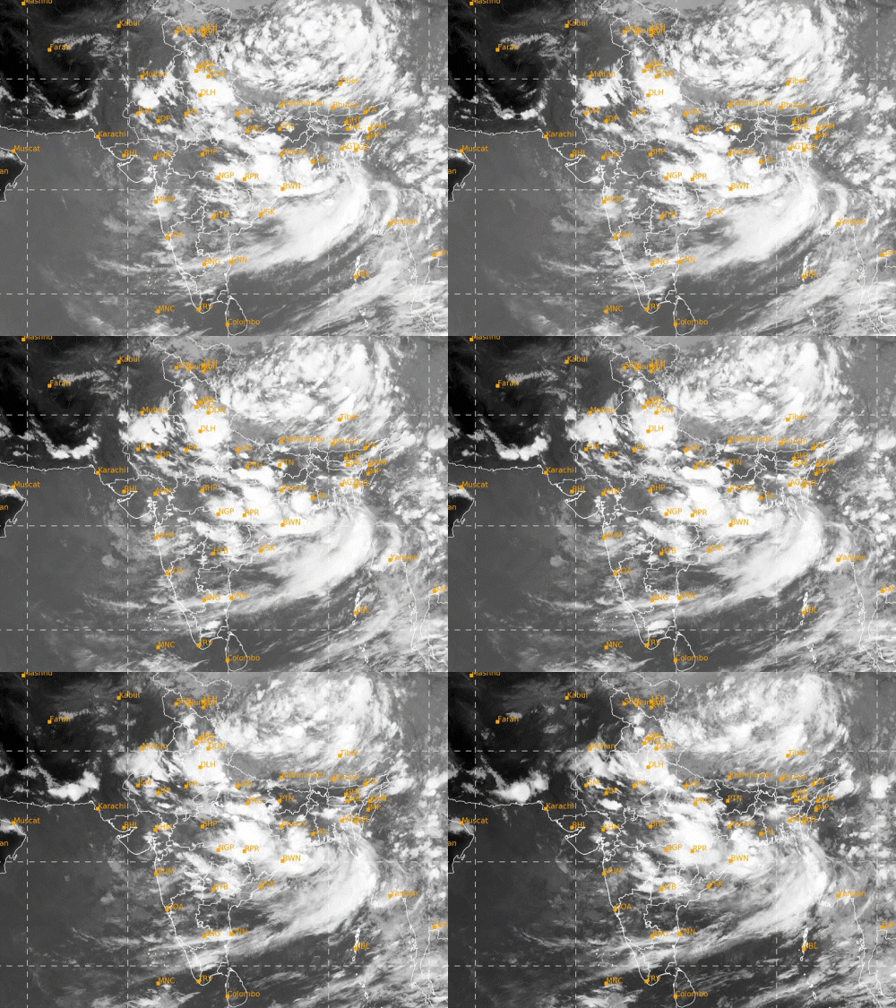
Pictures related to weather across country

Floodwater entered homes in Sivasagar, Assam. People are using boats to go outside.
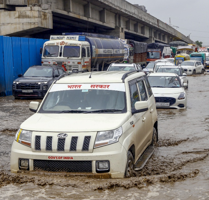
Roads were waterlogged in Ahmedabad, Gujarat. Half the vehicles were submerged in water.
Next 2 days weather forecast
29 July:
Jammu and Kashmir, Ladakh, Himachal Pradesh, Punjab, Uttarakhand, Haryana, Chandigarh, Delhi, Uttar Pradesh, East Rajasthan, East Madhya Pradesh, Vidarbha, Assam, Meghalaya, Manipur, Mizoram, Tripura and Nagaland are under an Orange Alert for rain.
Rain is likely across most parts of the country, except Jharkhand, Gujarat, West Rajasthan, Tamil Nadu-Puducherry and West Bengal.
30 July:
An Orange Alert for heavy to very heavy rainfall has been issued for Jammu and Kashmir, Ladakh, Himachal Pradesh, Uttarakhand, Punjab, Haryana, Chandigarh, Delhi, Uttar Pradesh, Assam, Meghalaya, Nagaland, Manipur, Mizoram and Tripura.
Rain is also expected to continue in many parts of Maharashtra, Chhattisgarh, Odisha, West Bengal, Karnataka, Kerala, Goa and Andhra Pradesh.